From occasional checks to early detection:
continuous AI-powered satellite health monitoring.
- Continuous health monitoring across your entire forest
- Early detection of dieback, so you can intervene before value is lost
The Challenge
Forest health decline is silent, fast, and hard to catch in time.
How It Works
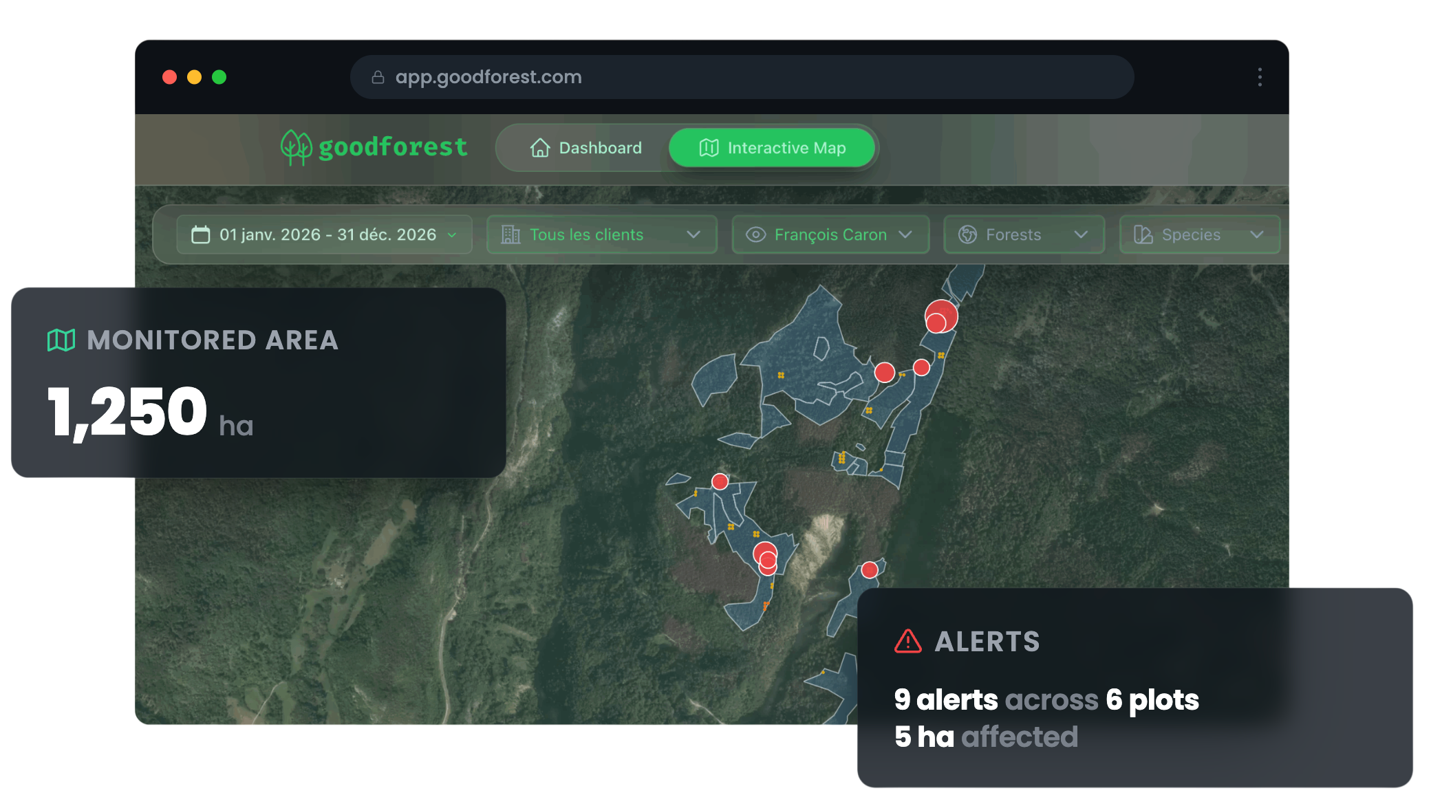
Continuous satellite monitoring, delivered as actionable alerts.
Share your parcels
Upload your forest perimeter as a shapefile or GeoJSON. We configure your account within 48 hours.
Satellite captures, AI detects
Our models analyze multi-source satellite imagery every time a clear image is available - detecting early signs of health decline across your entire portfolio.
You receive priority alerts
A map of affected zones, ranked by severity. You know exactly where to go - and where you don't need to.

Trusted by Forest Managers
Trusted by forest managers
across France.

.png)



"The added value is very clear. It helps us prioritize our health monitoring and target the areas that need attention first.
"It lets us get out in the field better prepared and be more efficient. Thanks to the alerts, we now visit parcels we didn't expect to walk before the next thinning.
"We manage large forest massifs where field presence has become harder to maintain. Goodforest gives us visibility over areas we can no longer visit regularly - without missing what matters.
Pricing
Simple, transparent pricing -
per hectare per year.
+ €120/user/year for web app access (cartography, indicators)
Estimate your annual cost
All prices exclude VAT · App access not included
What's included
- Dieback and water stress detection
- Continuous monitoring
- Email alerts every 2 weeks
- Web app with interactive mapping
- Historical trend tracking
- Dashboard
- API access
FAQ
Common questions.
Does it replace field visits?
No - it makes them more effective. You still go to the field, but only where it matters. No more wasted days on healthy parcels while problems develop elsewhere.
What if it is cloudy for several days?
We wait for the next clear satellite image before running the analysis. You do not lose anything - the analysis is performed as soon as conditions allow.
Can I try before committing?
Yes. We provide a free retrospective analysis of your parcels over 12 months at no cost - so you can validate detection quality on your own territory before any commitment.
How do I share my parcels?
By GIS file (Shapefile, GeoJSON or GeoPackage) sent by email. Your account is configured within 48 hours.
Your forests under monitoring - starting this week.
Get started now
Start with a free 12-month retrospective analysis - no commitment required.
Get my free analysis